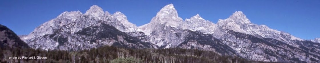
Wyoming is a colorful state, and some of the brightest color comes from the Triassic Chugwater Formation. It’s a brick-red sandstone and somewhat finer-grained siltstone, colored by iron oxide. You’ve heard repeatedly about red beds, and how they indicate episodic exposure to air of iron-bearing sediments, and that’s the case for the Chugwater, too. Ripple marks, crossbeds, and mudcracks all suggest the alternation between river settings and more arid times, or at least shifting river channels and variable overbank areas. The package includes lake deposits in places, but they would have been ephemeral lakes, not lasting very long, geologically speaking.
 |
| Steamboat Rock near Laramie, Wyoming (Chugwater sandstone) - by N.H. Darton, 1905. |
Parts of the Chugwater contain rocks that indicate deltaic environments and brackish conditions, perhaps along a marine margin, especially in central and western Wyoming. In places, the Chugwater formation is more than 1,000 feet thick. It’s common to find gypsum, calcium sulfate, within the Chugwater, a finding that might indicate really arid, evaporitic conditions, but the gypsum crystal growth usually breaks and deforms the sedimentary layers, indicating that the gypsum grew in the rock after it had lithified or become solid, at least pretty solid.
Partial skeletons, usually skulls, of amphibians, reptiles, and cynodonts have been found in Chugwater rocks, but generally speaking fossils are uncommon there.
 |
| Chugwater Formation near Thermopolis, Wyoming |
The Chugwater was named by USGS geologist N.H. Darton in 1905, for exposures near the town of Chugwater, in southeastern Wyoming. A possible origin for the name of Chugwater Creek is a Mandan Native American reference to the “water at the place where the buffalo chug,” meaning a buffalo jump where the bison made a chug sound on impacting the ground.
—Richard I. Gibson
Reference:
Red beds of the Triassic Chugwater Group, southwestern Powder River basin, Wyoming, 1991, Cavaroc, V. V.; Flores, Romeo M., USGS Bulletin: 1917-E
Photo credits:
Steamboat Rock composed of massive sandstone in the Chugwater formation. Twenty-six miles southwest of Laramie, looking north. Laramie County, Wyoming. 1905. Figure 6 in U.S. Geological Survey Folio 173, Photo by N.H. Darton.
Color photo near Thermopolis, WY, (public domain) by Jstuby
No comments:
Post a Comment