 |
| Devils Tower and red Spearfish Formation. Photo by Doc Searles under Creative Commons license |
The Black Hills of South Dakota is a dome, an elliptical arch with the oldest rocks at the center. If you think of it as a set of inverted nesting bowls, with each bowl representing a rock layer, you’ll be pretty close to a view of the Black Hills – but you need to slice the bowls off, or erode the rocks, so that what you end up with in map view is concentric oval rings representing each rock layer.
The various layers have variable resistance to erosion. Resistant rocks like sandstones and limestones make ridges, called hogback ridges because they tend to stand with a relatively high, linear, rugged crest above the sloping flanks. Rocks that are easily eroded tend to form valleys.

Some of the lower part of the Spearfish Formation is probably Permian in age, but much of it is Triassic. Like the Chugwater it contains gypsum, but unlike the Chugwater the gypsum in the Spearfish is probably original. The depositional environment of the Spearfish was probably a sabkha, a muddy salt flat such as those found around parts of the Persian Gulf today. Restricted and ephemeral lakes allowed gypsum to precipitate occasionally, and the alternating incursions of seawater with arid periods allowed for the oxidation of iron in the muds and silts that became the Spearfish Formation.
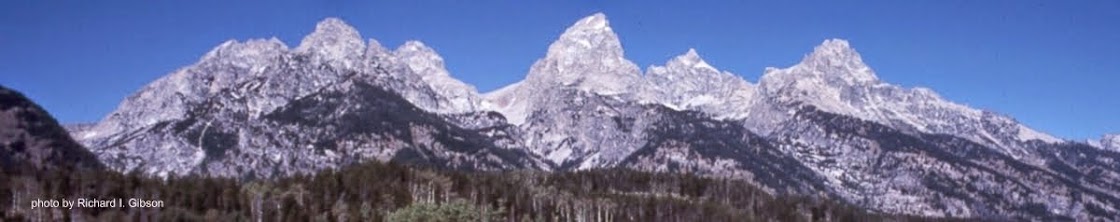
Most of the exposures of red rocks in and around the Black Hills, including around Devils Tower in northeastern Wyoming, are the Spearfish Formation. Gypsum appears as white bands within the red rocks. After 225 million years, probably during the recent glacial period when the Black Hills was much rainier than it is today, some of the gypsum dissolved in the subsurface. This left empty spaces – caves – that sometimes collapsed if they were close to the surface, creating sinkholes. Early Native Americans used some of these sinkholes as buffalo jumps, driving bison to them, and some, such as the Vore site adjacent to Interstate 90, are important archaeological sites.
—Richard I. Gibson
Photo by Doc Searles under Creative Commons license
Line drawing after USGS
No comments:
Post a Comment